Tip of the Day – Use a strict directory structure for file-based data
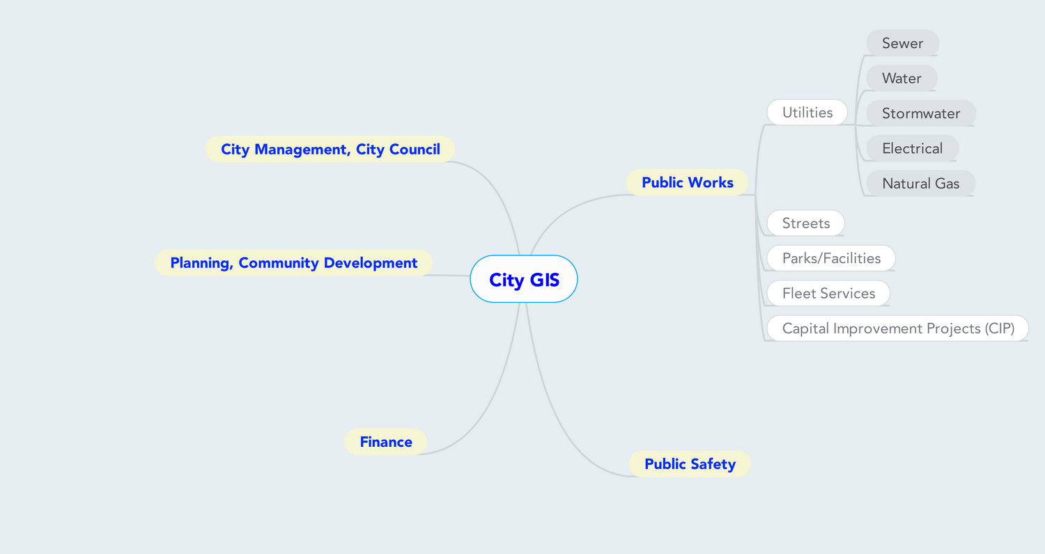
Today’s Tip Define and stick with logical directory structure for file-based data Discussion In every mapping related job I’ve worked, one issue that always arises is data management. Unless you have a spatial database implemented already, the likelihood is that the majority of your data is in some file-based format. Heck, even if you have …